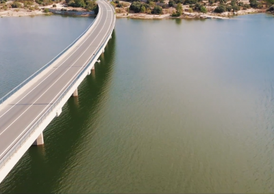
Today, aerial photography is a key element in areas such as cartography, topography… The analysis of the earth surface using photo cameras has diverce in urban planning, land management, forestal areas, hydrography or archaeological research.
Our high-definition cameras and state-of-the-art professional platform drones allow us to give our clients high-quality aerial pictures. Our drones can reach up to 120 m (400 ft) high and up to 500 m (1640 ft).
Drone Spain Films show you images of our world from a different angle.